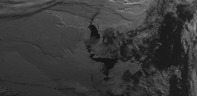
Raw AVHRR satellite image
For several months, I collected Advanced Very High Resolution Radiometer (AVHRR) polar-orbiting satellite data using a small radar dish on the roof of Dr. Randall Forsythe’s lab at UNC-Charlotte. During this acquisition period, I sorted through hundreds of images captured from multiple satellites and geometrically corrected those remaining using Erdas Imagine. A Normalized Differential Vegetation Index (NDVI) was achieved by calculating specific differences between satellite sensor spectral channel-1 (ρRED -> 0.58-0.68µm) and near-infrared channel-2 (ρNIR -> 0.725-1.0µm).
Newspapers at the time warned of drought citing studies employing another rubric: the Palmer Drought Severity Index. My work argued that even with a distinct lack of rainfall in the decade prior, the region’s vegetation was healthy and showed no signs of wear resulting from the decline.
This project won the Jeffrey F. West First Place Award for Excellence in Undergraduate Research.